
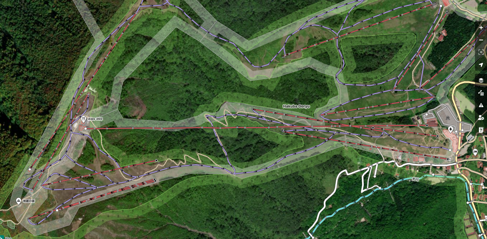
There are a lot of features to map on every ski mountain. Some of the main features include aerialways (eg chairlifts, gondolas, etc), pistes (ski course or run) and the actual area of a ski resort. Commonly, pistes are lines or ways. Ski areas are normally mapped as polygons. Chairlifts are normally mapped as lines but also contain point data, the pylons. This video will introduce to you how to map chairlifts and pylons. There are many projects using this data. Of course, freshsnow.jp uses this data but also Microsoft Fly Simulator expansion packs also use this data (see this project: https://flightsim.to/file/14840/project-litfts-europe).
Anyway, check out the video below. Learn how to add pylons and add informative data concerning the type of lift like occupancy, duration for embarking to disembarking, number of people per hour, etc.